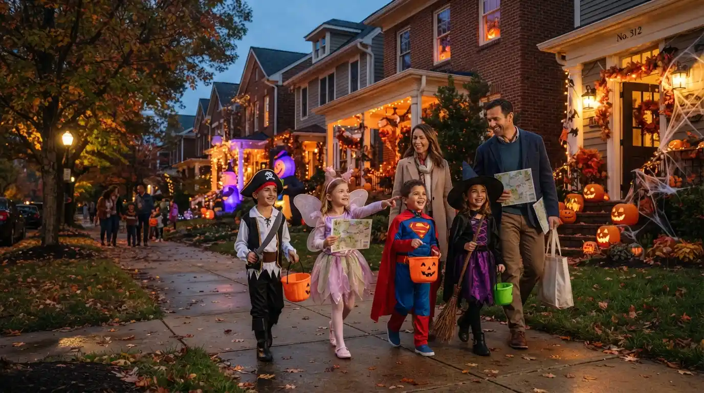
Halloween is one of the most exciting nights of the year for children, families, and neighbors. A trick or treat map can make the night easier by helping families find nearby Halloween activities, plan a walking route, and discover homes that welcome trick-or-treaters.
Some maps are community-made, while others are created through websites, apps, neighborhood groups, or local events.
If you are searching for a trick or treat map, you may want to know where children can safely collect candy, which neighborhoods participate, or how to create your own route. This guide explains what these maps are, how they work, where to find one, and how to make Halloween night more organized and enjoyable.
Quick Answer: What Is a Trick or Treat Map?
A trick or treat map is a map that shows locations, routes, homes, events, or neighborhoods where Halloween trick-or-treating may take place. It can help families find participating houses, community events, decorated homes, candy stops, and safe walking routes.
Some maps are official local resources, but many are informal. A neighborhood association, parent group, local business, school, or resident may create a map for the community.
Because Halloween traditions vary from one location to another, always check the map’s source and confirm the event date and times before leaving home.
What Does a Trick or Treat Map Usually Show?
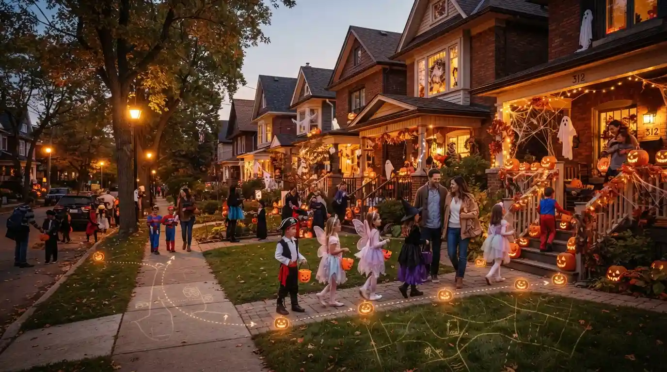
A Halloween map can contain different types of information depending on who created it. A simple neighborhood map may show only participating homes. A larger community map may include several Halloween events and activities.
For example, a map might identify houses giving out candy, streets with Halloween decorations, community centers hosting events, or local parks holding family activities.
Some maps use icons or colors to make locations easier to understand. A candy icon might represent a participating house, while another symbol could show a pumpkin display or community event.
The information can also change during the Halloween season. A house that participated last year may not participate this year. Therefore, families should treat community maps as helpful planning tools rather than guaranteed lists.
| Map Feature | What It May Show |
| Candy stops | Homes or locations offering treats |
| Halloween events | Community parties and activities |
| Decorations | Houses or streets with large displays |
| Walking routes | Suggested paths between locations |
| Family activities | Games, contests, or local gatherings |
| Safety information | Road crossings, parking, or meeting points |
The most useful maps are easy to read and give families enough information to plan without making the night complicated.
Why Do People Search for a Trick or Treat Map?
People search for Halloween maps for several reasons. Parents may want to find a convenient area for their children. New residents may not know which neighborhoods celebrate Halloween. Visitors may also want to find public Halloween events.
Another common reason is planning. Instead of walking randomly from street to street, families can look at the area first and choose a simple route.
A map can also help families estimate how much walking will be needed. This can be especially useful for young children who may become tired after a long evening.
Older children may enjoy having more independence, but parents can still use a map to discuss where they are going and when they should return.
For communities, a shared map can make Halloween more social. Neighbors can let others know that their homes are participating and help families discover local activities.
Where Can You Find a Trick or Treat Map?
There is no single nationwide trick-or-treat map that covers every neighborhood in the United States. Instead, maps are often created at the local level.
One of the first places to check is your city or town’s official website. Some communities publish Halloween event information, street closures, parade details, or family activities.
Local libraries, recreation departments, schools, and community organizations may also share Halloween information.
Neighborhood groups are another useful source. Many communities use online neighborhood forums or social media groups to share participating houses and local Halloween plans.
You can also search online using your city or neighborhood name followed by terms such as “trick or treat map,” “Halloween events,” or “Halloween trick or treating.”
| Where to Look | What You May Find |
| City website | Official events and community information |
| Parks and recreation department | Family Halloween activities |
| Local library | Children’s Halloween programs |
| Neighborhood groups | Participating homes and local plans |
| Community organizations | Parties and Halloween events |
| Local businesses | Candy events or family promotions |
| School communities | Halloween activities and announcements |
Always check when the information was posted. An old map may no longer reflect current participation.
How to Use a Trick or Treat Map
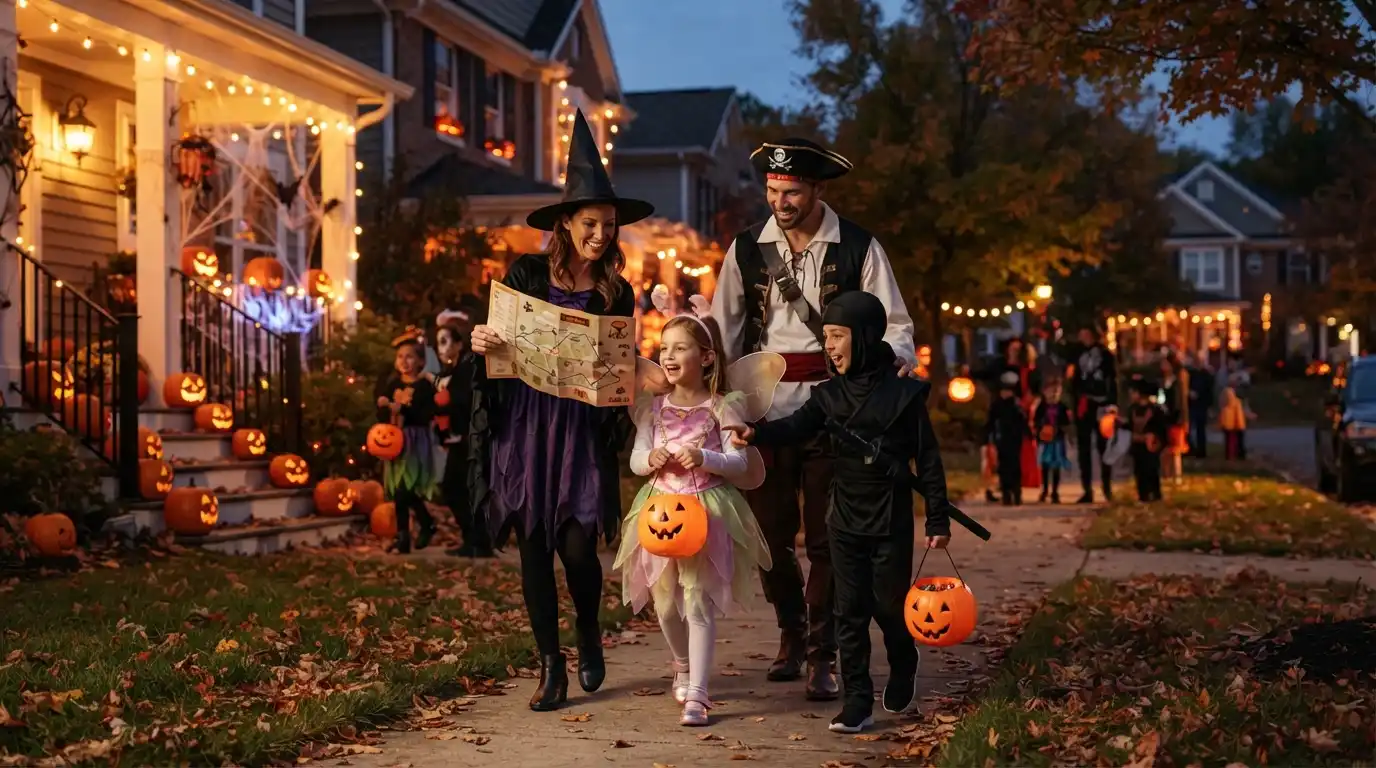
Using a Halloween map is usually simple. Start by identifying your starting point. This may be your home, a friend’s house, or a community event.
Next, look for nearby locations that fit your plans. If you are with young children, you may want a shorter route. Families with older children may choose a longer walking area.
After selecting your stops, look at the streets between them. Try to create a route that avoids unnecessary backtracking.
It is also helpful to choose a meeting point. If family members become separated, everyone should know where to meet.
Before leaving, check the map again for updated information. Community plans can change because of weather, road conditions, or changes in event schedules.
A map should support your planning, not replace normal Halloween safety practices.
How to Make Your Own Trick or Treat Map
You do not need special mapping skills to create a simple trick-or-treat map. A neighborhood list and a basic digital map can be enough.
Start by deciding what information you want to include. You might list participating homes, community events, decorated houses, or family-friendly activities.
Next, collect information from neighbors who want to participate. Avoid publishing private information that residents have not agreed to share.
You can then organize the locations by street or area. A simple table can help before you create the actual map.
| Location | Activity | Suggested Time | Notes |
| Main neighborhood area | Trick-or-treating | Evening | Family-friendly route |
| Community center | Halloween event | Evening | Check event schedule |
| Local park | Halloween activity | Evening | Confirm public access |
| Participating homes | Candy | Evening | Participation may vary |
For a public community map, clearly state that participation can change and that families should follow local rules.
A good map does not need to be complicated. Clear information is more important than fancy design.
How to Plan a Safe Trick-or-Treat Route
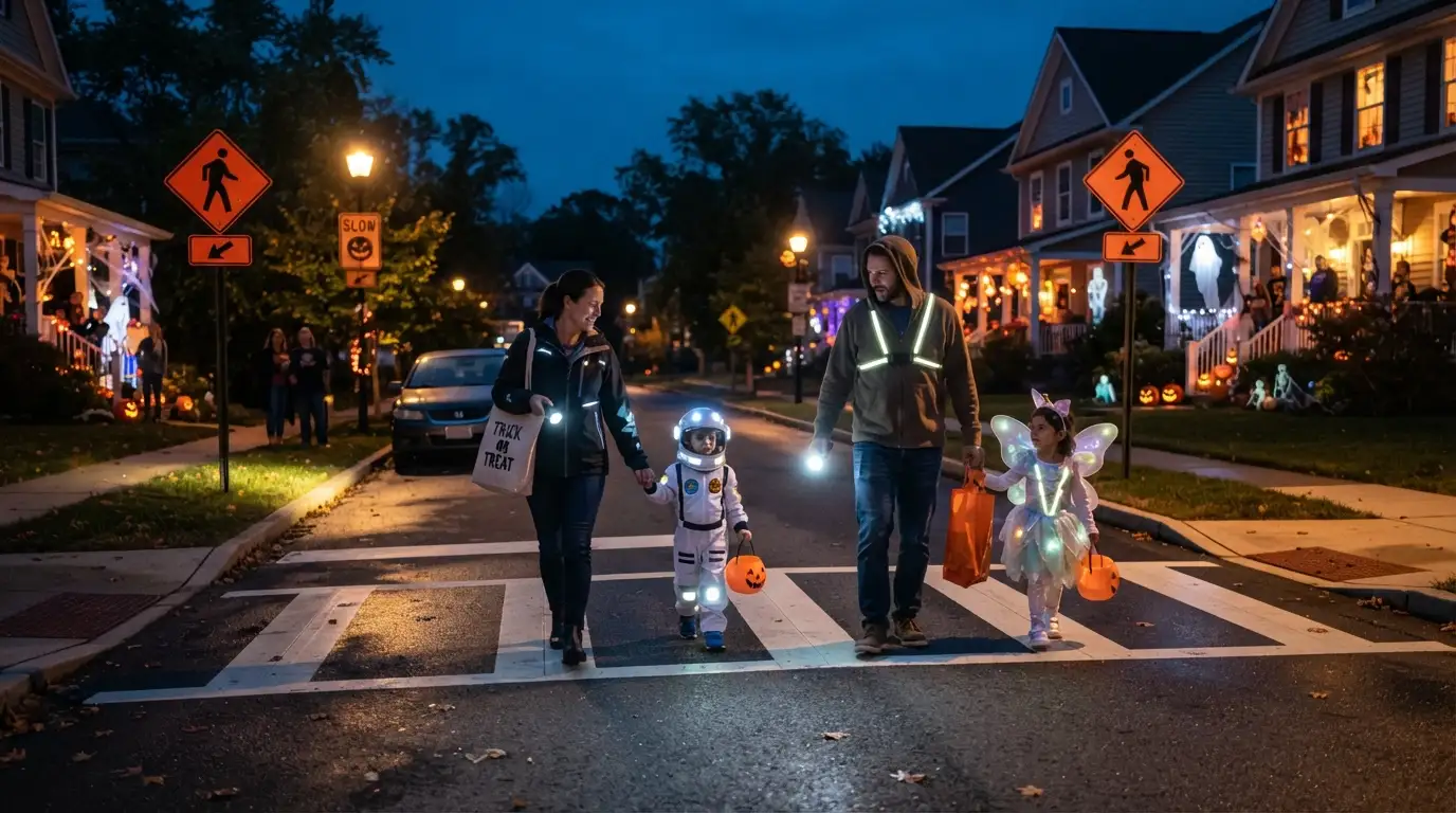
Safety should be part of Halloween planning from the beginning. A map can help families choose routes that are easier to walk and cross.
Whenever possible, use sidewalks and established pedestrian paths. When crossing a street, use a crosswalk or another safe crossing location.
Parents should consider the age of the children when choosing a route. A short loop may work well for younger children, while older children may be able to handle a longer route with appropriate supervision.
Visibility is also important. Halloween costumes can make it harder for drivers to see pedestrians, especially after sunset. Bright clothing, reflective details, or a flashlight can help improve visibility.
Children should also know basic road safety rules. They should stop before crossing, look for vehicles, and avoid suddenly entering the street.
The map helps with planning, but responsible adult supervision and good judgment remain important.
Trick or Treat Map vs. Halloween Event Map
These two types of maps are related, but they are not always the same.
A trick-or-treat map usually focuses on homes, streets, or locations where children may collect candy. A Halloween event map may focus on organized activities such as festivals, parades, contests, or community parties.
Some maps combine both.
| Trick-or-Treat Map | Halloween Event Map |
| Focuses on candy stops | Focuses on organized events |
| Often covers neighborhoods | May cover an entire city |
| May be community-created | Often created by an organization |
| Usually supports walking routes | May include event locations |
| Can change frequently | Usually follows an event schedule |
Knowing the difference can make online searches easier. If you want candy locations, search specifically for trick-or-treat information. If you want parties and activities, search for Halloween events.
How Neighborhoods Use Trick or Treat Maps
Neighborhood maps can help residents communicate before Halloween. A community may ask participating households to add their homes to a shared list or map.
This can be especially helpful in large neighborhoods where families do not know every street.
Some communities may also use maps to identify decorated houses. Residents who enjoy creating large Halloween displays can share their locations so families know where to walk.
However, participation should always be voluntary. A home that is not listed should not automatically be assumed to be giving out candy.
A simple sign, porch light, or other local tradition may also communicate participation. Since customs differ, families should respect each household’s choice.
Community maps work best when the information is accurate, voluntary, and easy for everyone to understand.
What Should You Check Before Using a Halloween Map?
Before relying on a trick-or-treat map, check several basic details.
First, confirm the date. Some Halloween activities take place on October 31, while others may be scheduled on a different evening.
Second, check the time. A community event may have a specific start and end time. Individual homes may also have different schedules.
Third, check If the information is current. A map from a previous Halloween may not represent current participation.
Fourth, consider the source. Official city information, established community organizations, and current neighborhood announcements can provide useful confirmation.
Finally, check the weather and local conditions before heading out.
These simple checks can prevent confusion and help your family have a smoother evening.
Common Mistakes When Searching for a Trick or Treat Map
One common mistake is assuming that every map is official. Many Halloween maps are created by individuals or neighborhood groups, so their information may not be verified by a city government.
Another mistake is using an old map. Halloween participation can change from one year to another.
Some people also search only for the exact phrase “trick or treat map.” This can limit results. Local governments and community groups may use different terms, such as “Halloween events,” “trick-or-treat locations,” or “Halloween activities.”
Another problem is planning a route without considering distance. A map may show many locations, but that does not mean your family needs to visit all of them.
Finally, avoid sharing private household information without permission. A useful map should protect community privacy while providing helpful public information.
How to Find Halloween Activities Without a Map
A map is helpful, but it is not the only way to find Halloween activities.
Local newspapers may publish seasonal event calendars. Community centers and libraries often announce family programs. Schools and neighborhood organizations may also share event information.
You can search online for your city name plus “Halloween events,” “trick or treat times,” or “Halloween activities for kids.”
You can also check official city and county websites. These sources may provide information about public events, road closures, safety notices, and community programs.
If you are visiting another city, contact a local visitor information office or community organization for current information.
The key is to use current information from reliable sources rather than assuming that a map from another year still applies.
Tips for Families Planning Halloween Night
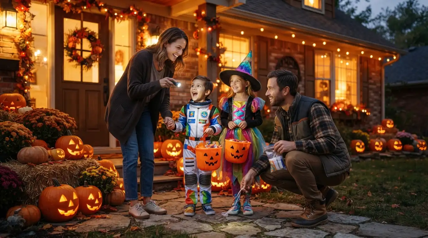
A little preparation can make Halloween much easier. Start by choosing a realistic route. Young children may enjoy a short walk with fewer stops rather than a long route.
Make sure costumes fit properly and do not create a tripping hazard. Shoes should also be comfortable because children may walk farther than expected.
Bring a flashlight when it gets dark. Adults may also want to carry a phone and keep children within sight.
If children have food allergies or special dietary needs, families should plan ahead rather than assuming every home will have suitable treats.
After returning home, parents can check treats before children eat them. Follow your family’s normal food-safety practices and any guidance from your child’s healthcare professional.
Most importantly, make the evening enjoyable. Halloween is about more than collecting candy. Costumes, decorations, neighbors, and shared memories are part of the fun.
Tips for Creating a Better Community Trick or Treat Map
If you are creating a map for your neighborhood, keep it simple.
Use clear labels and avoid adding unnecessary personal information. Only include homes and locations that have agreed to participate.
Explain what each map symbol means. For example, one symbol could represent a candy stop while another represents a public Halloween event.
Include the date and time of the event near the map. This prevents people from accidentally using outdated information.
It is also useful to add a short safety reminder. Encourage families to use sidewalks, follow traffic rules, and supervise children according to their age and needs.
If the map is online, provide a way for organizers to correct outdated information. A map becomes more useful when residents can report changes.
Current Halloween Map Trends
Digital planning has made it easier for families to discover local Halloween activities. Instead of relying only on printed neighborhood lists, people can search online, check community posts, and use digital maps.
Interactive maps can be particularly useful because users may be able to zoom into a neighborhood and plan a route.
However, technology does not guarantee accurate information. A digital map can still contain outdated or incorrect details.
For this reason, current local announcements remain important. A map works best when it is combined with information from the organization, neighborhood, or community that created it.
The basic idea has not changed: families want an easy way to know where Halloween activities are happening and how to get there safely.
FAQs About Trick or Treat Maps
What is a trick or treat map?
A trick or treat map is a local map showing homes, neighborhoods, events, or other places associated with Halloween trick-or-treating. It can help families plan where to walk and which activities to visit.
Is there one trick or treat map for the whole United States?
There is not one universal map that reliably covers every neighborhood in the country. Halloween participation is usually organized locally, so families should look for current information from their city, neighborhood, or community organizations.
How can I find a trick or treat map near me?
Search for your city or neighborhood name together with phrases such as “trick or treat map,” “Halloween events,” or “trick-or-treat locations.” Local government and community websites can also be useful sources.
Can I create my own trick or treat map?
Yes. You can create a simple map showing participating homes or public Halloween events. Get permission before adding private homes or personal information, and make sure the information is current.
Are trick or treat maps always accurate?
No. Community-created maps can become outdated or may contain incomplete information. Check the date, source, event schedule, and local announcements before relying on a map.
What should families consider when choosing a trick-or-treat route?
Families should consider children’s ages, walking distance, traffic, sidewalks, visibility, weather, and local event times. A shorter and simple route may be easier for younger children.
Conclusion
A trick or treat map can be a useful way to organize Halloween night. It can help families find participating neighborhoods, candy stops, decorated homes, and community events without spending the evening searching randomly.
The best map is current, easy to understand, and based on reliable local information. Before using one, check the date, time, source, and participation details.
Families should also plan routes around safety, visibility, traffic, and the ages of the children. Remember that not every home will participate, and local Halloween traditions can vary.
If you use a community map or create your own, the goal is simple: make Halloween easier, safer, and more enjoyable. A little planning can leave more time for costumes, candy, decorations, and the memories that make Halloween special.

Fazal Abbas
Fazal Abbas is a passionate English grammar writer with over 2 years of experience creating clear, helpful, and easy-to-understand grammar content. He specializes in confusing words, common grammar mistakes, word usage, sentence structure, and practical English tips.
With a simple teaching style, Fazal explains difficult grammar topics in easy English that students, writers, and everyday learners can understand. His goal is to make English grammar less confusing and more useful in real-life communication.
Through GrammarBook, Fazal shares practical examples, clear explanations, and useful tips to help readers improve their English with confidence. He believes that learning grammar should be simple, friendly, and enjoyable.